Ontario Topographic Map
To use this nicely detailed map, click on the Blue "Make a Map". A window says something about "parcel agreement", scroll down to the bottom and click "I accept" to the terms and conditions. The map starts with all of Ontario and is searchable. Base data is ESRI.
Haliburton County Map
Another great map. This one is better for Haliburton County infrastructure.
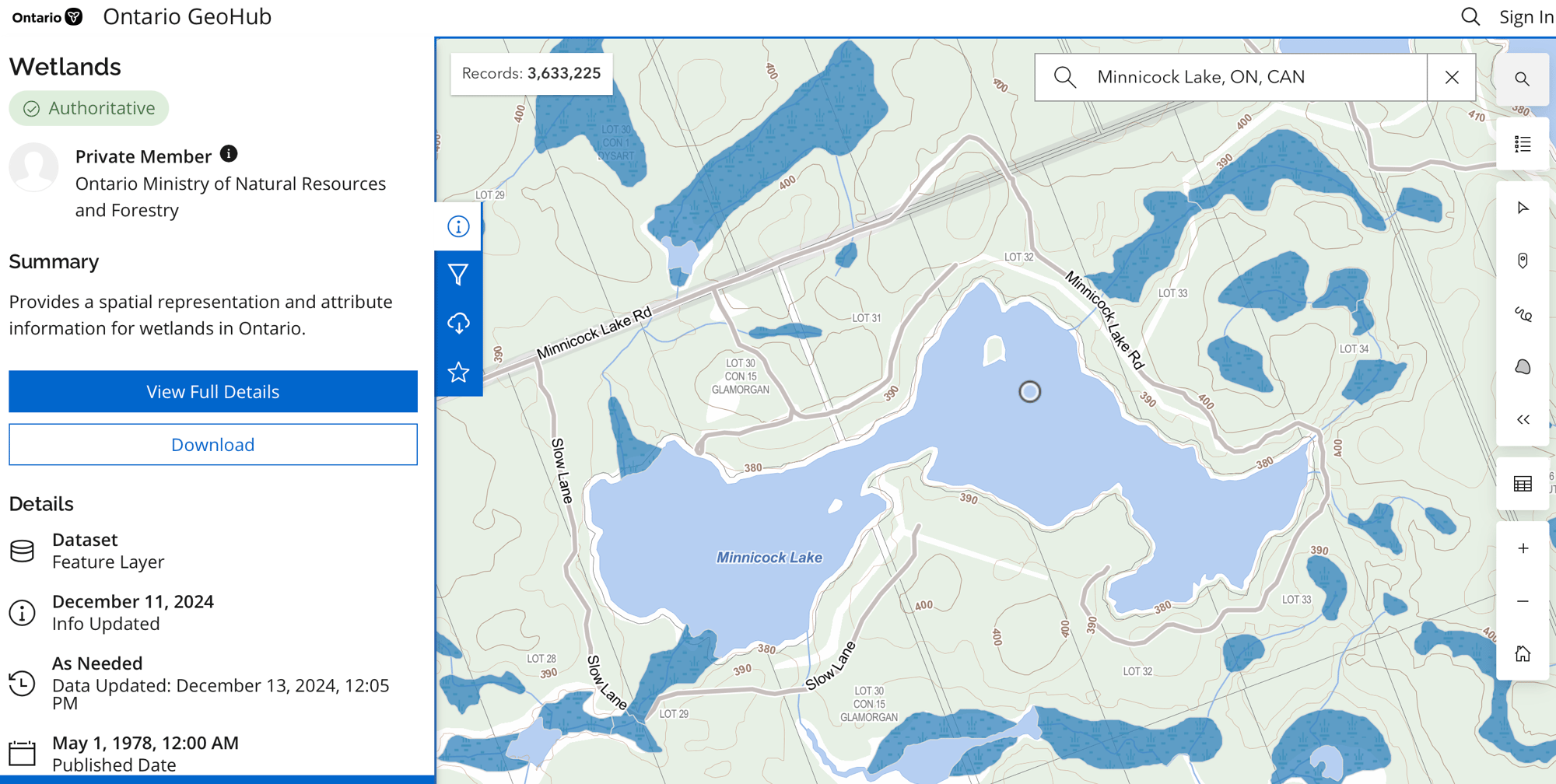
Ontario Wetlands
This map is all about marshy swampy areas.

Minnicock Lake - custom map
This map is a work in progress using Google MyMaps as a base. It combines public address, crown land, municipal road allowances, MLR East Backlands and species spotted from iNaturalist.
It looks even better viewed through Google Earth. It looks complicated with all the layers turned on - so decide which ones to turn off or on.


